1
Watch your community
Search your community and tap Watch. Your home screen becomes what is near you: fires, gauges, air, alerts, closures, and nothing else.
Ontario · wildfire · flood · storm · smoke · every hazard
Disasters identified as they start. Official alerts relayed the moment they are issued. The most comprehensive set of official data in the province, on one calm map, with the help beside it.
Coming Autumn 2026. Tap a badge to be told the day it lands.
Alerting faster. Helping quicker. Always ready.
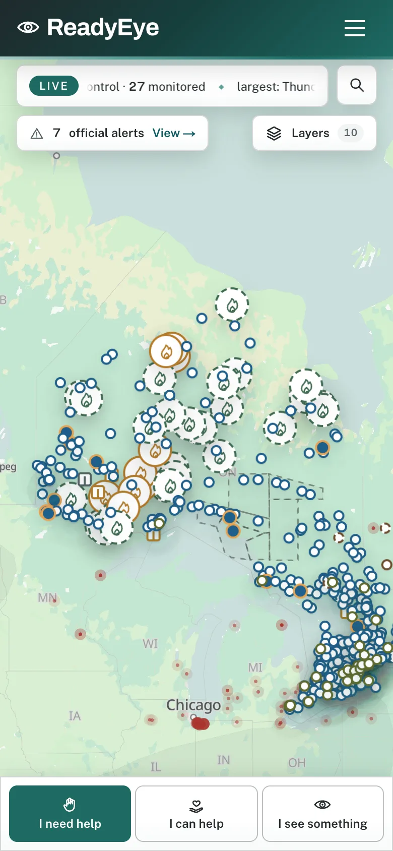
Right now in Ontario
0
wildfires on Ontario's feed
0
official alerts in effect
0
communities under alert
0
ways to help, open now
How it works
Search your community and tap Watch. Your home screen becomes what is near you: fires, gauges, air, alerts, closures, and nothing else.
An official warning, a verified sighting, a road closed. ReadyEye tells your phone, by community, with the source and the time. Never a rumour, never a guess.
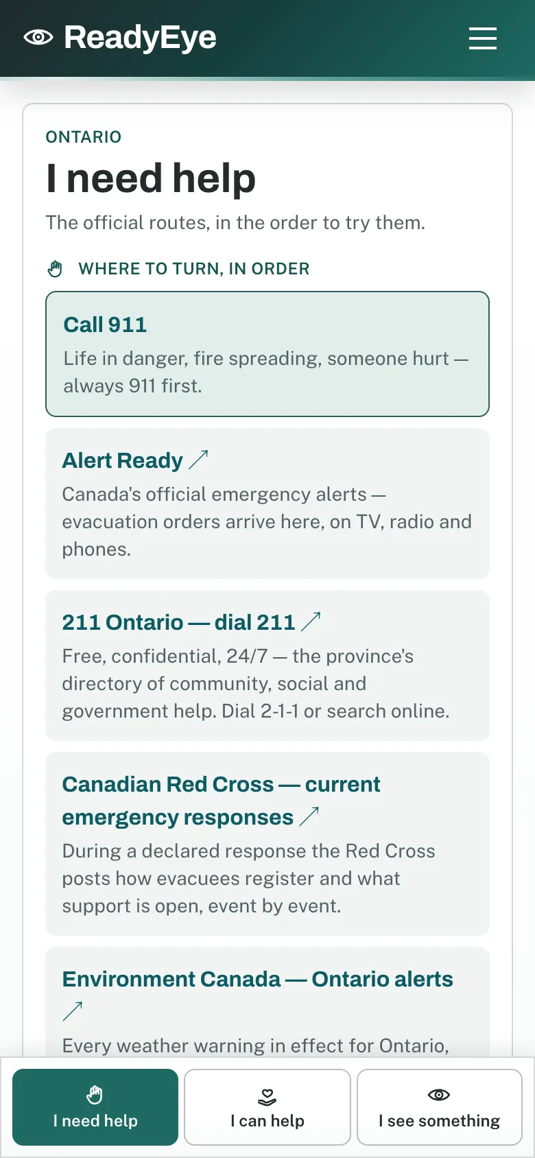
I need help: the official routes, in order. I can help: what is being asked for and who is on it. I see something: tell the people who can act, then tell ReadyEye.
What it is
Canada has a map for every disaster. Nobody has a map for the help. ReadyEye puts them on the same screen: what is burning, flooding or blowing in; which communities it touches; what the officials have said; who is asking for help and who is already on it.
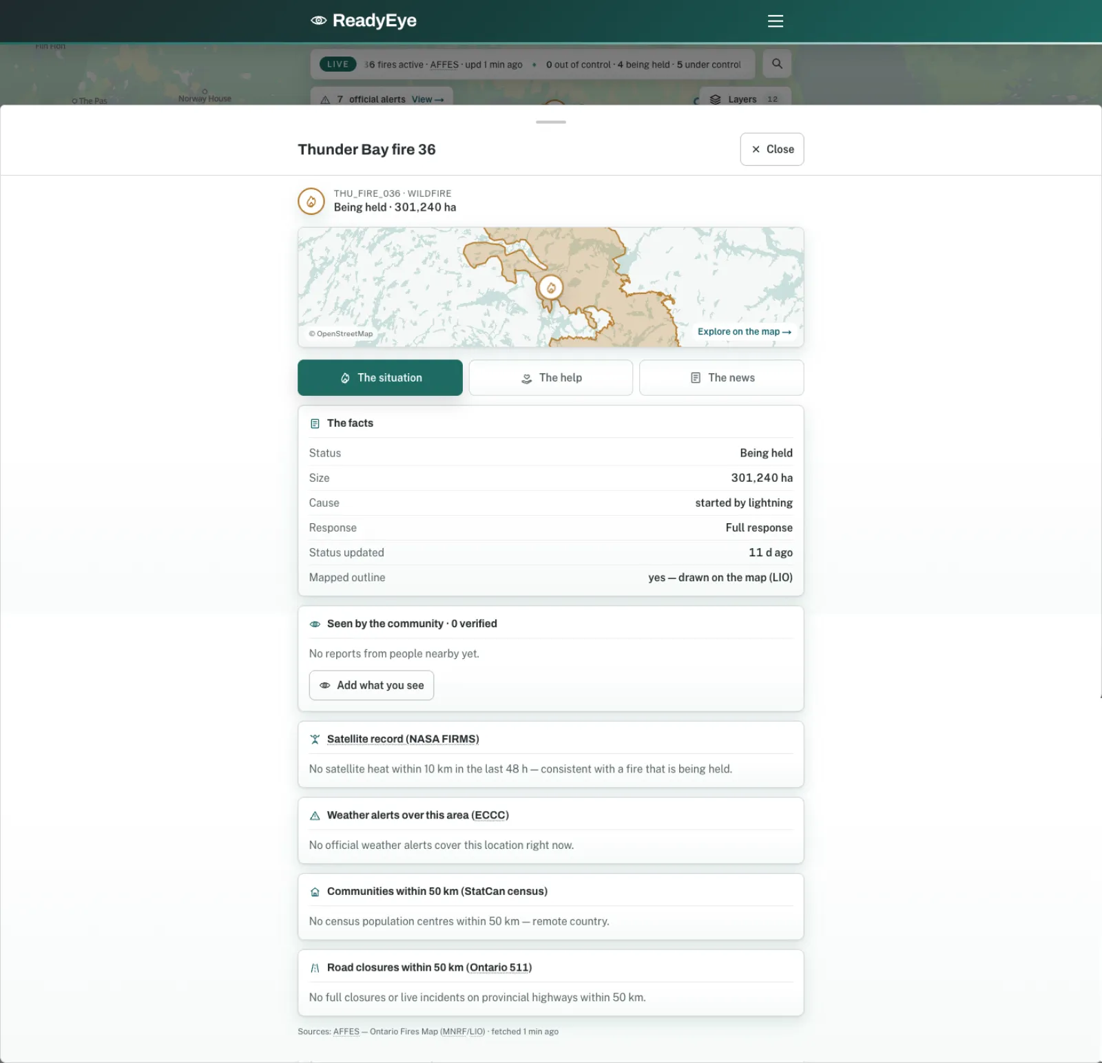
A quick tour
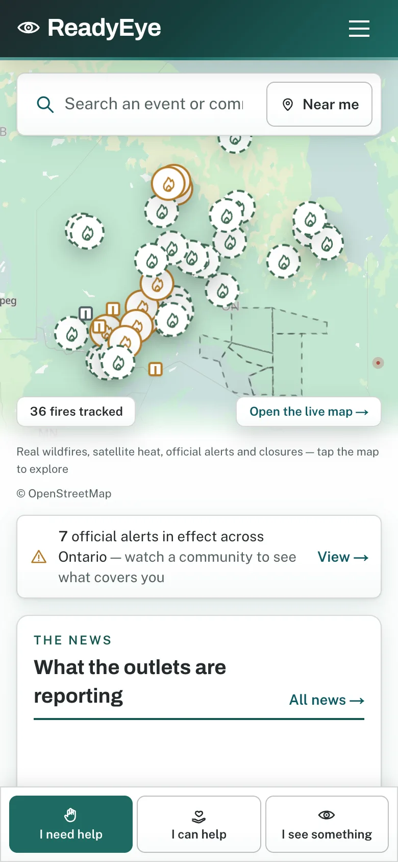
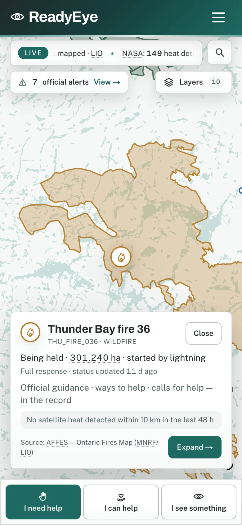
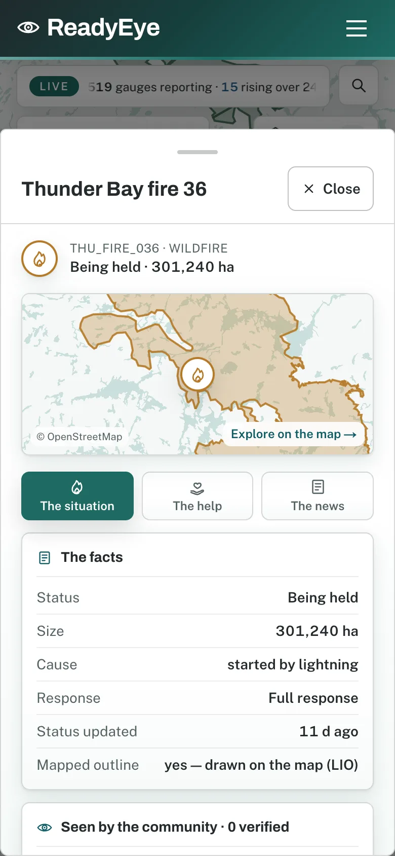
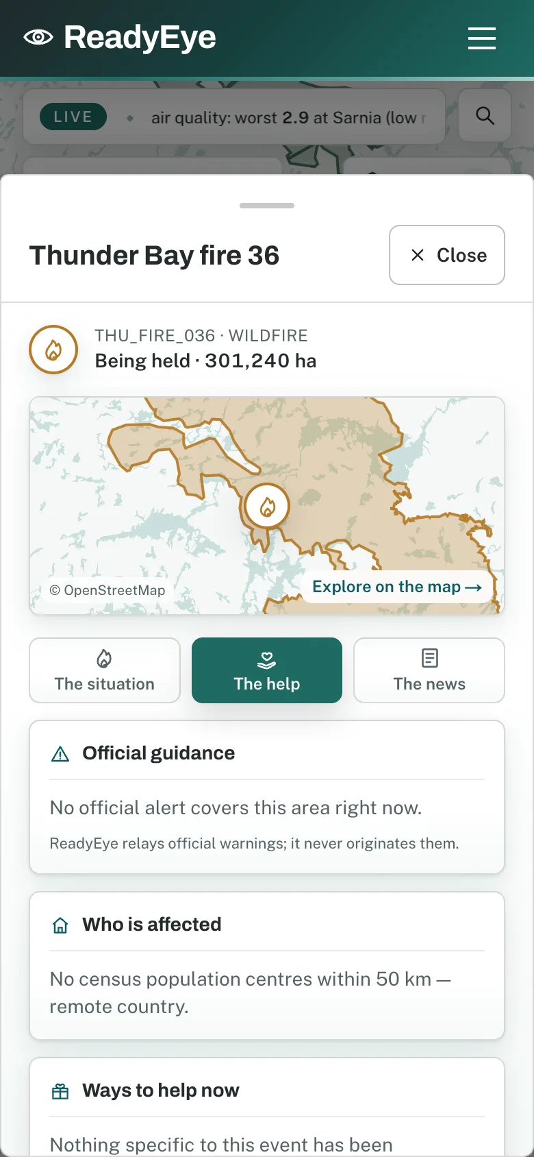
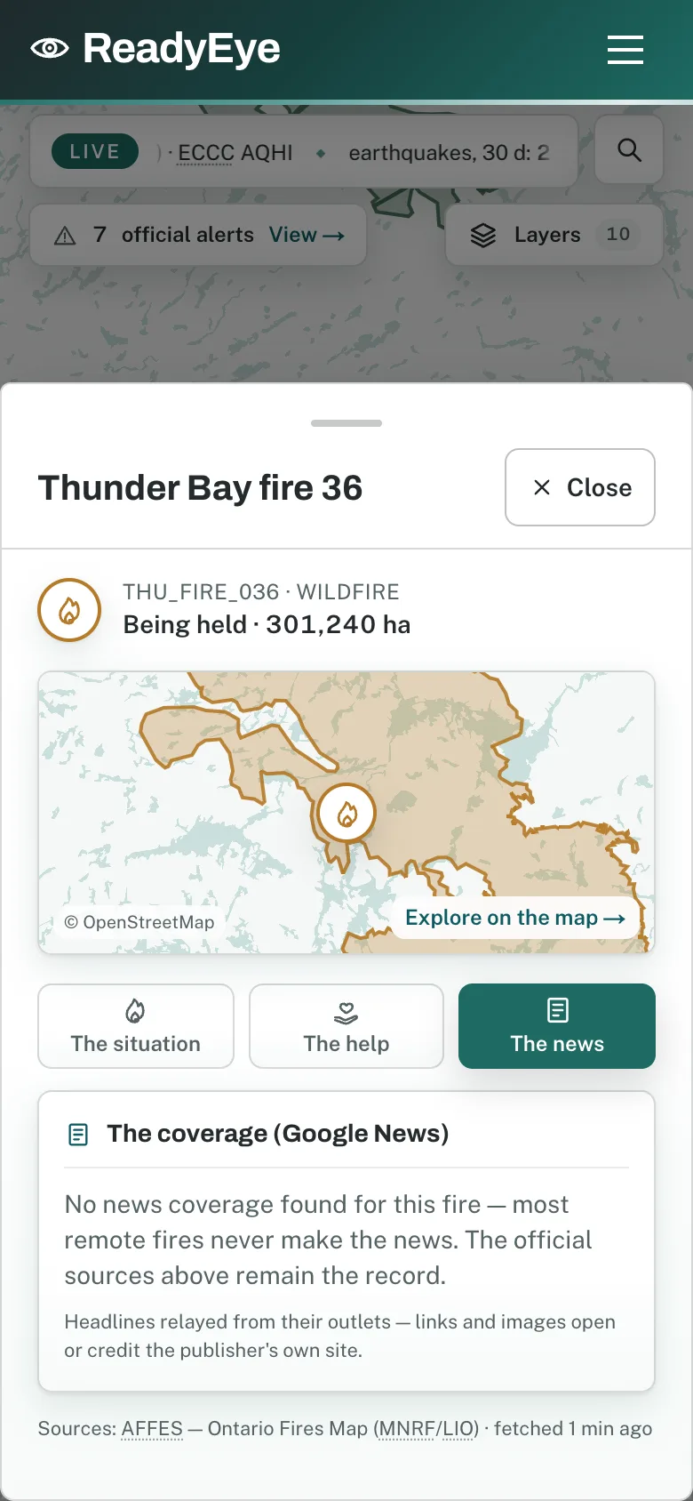
Live captures from the working app: real Ontario fires, real alerts, real communities. Swipe through.
What's inside
Every community in Ontario has its own record: the fires, river gauges, air quality, alerts and closures near it, the people helping, and a Watch button.
Ontario's fire map and fire outlines, NASA's satellites, Environment Canada, Alert Ready, Ontario 511, river gauges, air quality, NOAA smoke, Earthquakes Canada and the news. Each checked, credited and refreshed on its own clock.
Every warning arrives word for word with its source and its time, drawn on the map over the communities it covers. ReadyEye never writes an alert and never tells anyone to leave, stay or drive.
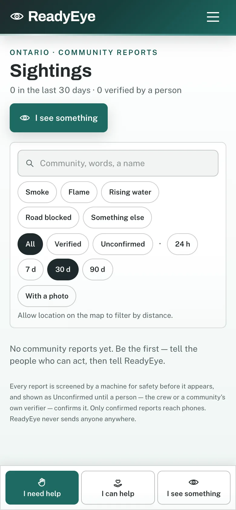
“I see something” logs smoke, flame, rising water or a blocked road, pinned to a place, with a photo. A machine screens it for safety; a person confirms it before it ever reaches a phone.
Who to call, in the order to try them. What is being asked for, and who is already on it. Every route opens the organisation's own page. ReadyEye takes no payments and never shows up on anyone's behalf.
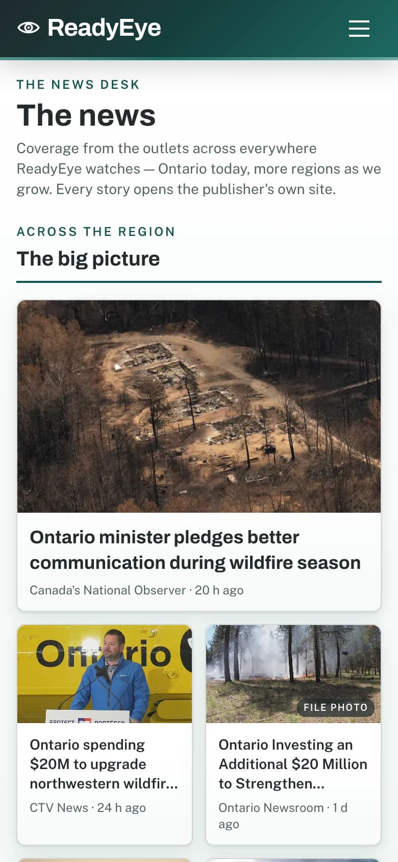
What the outlets are reporting on each event and each community, refreshed through the day, with calls for help pulled out. Every story opens the publisher's own site.
Watch a place and hear about it when something changes there: an official warning, a verified sighting, a road closed. By community, not by province, so a quiet week stays quiet.
Installs on your phone, opens fast, keeps the last map when the signal drops. The same ReadyEye on the web, Android and iOS. One record, one language, everywhere.
Every alert, route, story and sighting says where it came from and when. A person reviews everything before it publishes. No rumours, no noise, no discussion board.
Most apps
ReadyEye
Get ReadyEye
The App Store and Google Play releases go live on the same day as the web app. Until then ReadyEye runs in the browser.
One email, on the day. That's the whole list.